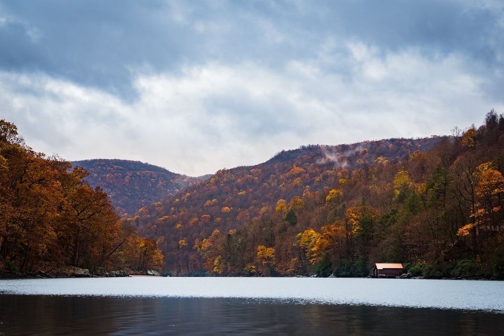
West Virginia · Reservoir impounded 1966 · near Summersville
Summersville Lake covers 2,790 acres in West Virginia and drops to 327 feet at its deepest point. It is a reservoir impounded in 1966 and managed by USACE. Water level is the thing to understand here: the pool can move roughly 75 feet, typically drawn down in autumn. That changes dock function, boat access, and what the shoreline looks like in listing photos versus in person. Water clarity averages around 30 feet, placing it among the clearer bodies of water in the country. Short-term rental posture: Nicholas County. Confirm at the municipal level before underwriting rental income.
Each axis is computed by published formula from this lake's own attributes. How we score.
Computed from measured clarity, trophic state, and drawdown magnitude — not an opinion. See the formula.
Weighted: water 26% · recreation 22% · investment 20% · value 18% · access 14%.
Daily values from USGS. Loading up to one year.
The dock sits at full-pool elevation. At low pool the waterline retreats and the reach to navigable water changes. Scale is illustrative; the 75 ft figure is from published operations for this lake.
Idealized cross-section. Max depth 327 ft, average 105 ft. Depth at a specific dock depends on local bathymetry — verify at the property.
Nicholas County
What a median-priced home on Summersville Lake actually costs to carry, with waterfront-specific line items most calculators omit.
| Principal & interest | $42,993 |
| Property taxes | $7,140 |
| Hazard insurance | $2,856 |
| Flood insurance | $2,400 |
| Utilities | $2,700 |
| Maintenance reserve (1.1%) | $7,480 |
| Septic service | $520 |
| Well & water testing | $260 |
| Dock maintenance | $900 |
| Winterization / seasonal close | $750 |
| Shoreline / seawall reserve | $960 |
| Total | $68,959 |
Be the first to write about Summersville Lake.